Beyond RGB: What Satellite Imagery Really Contains
What else can we do with satelite imagery that we cannot do with images captured from traditional cameras?
Read blog →PhD Candidate · University of Saarland · I2SC
I'm a PhD candidate studying under the supervision of Prof. Dr. Ingmar Weber, at the Chair of Societal Computing, University of Saarland. My work focuses on use of computer vision, to study human mobility from satellite imagery.
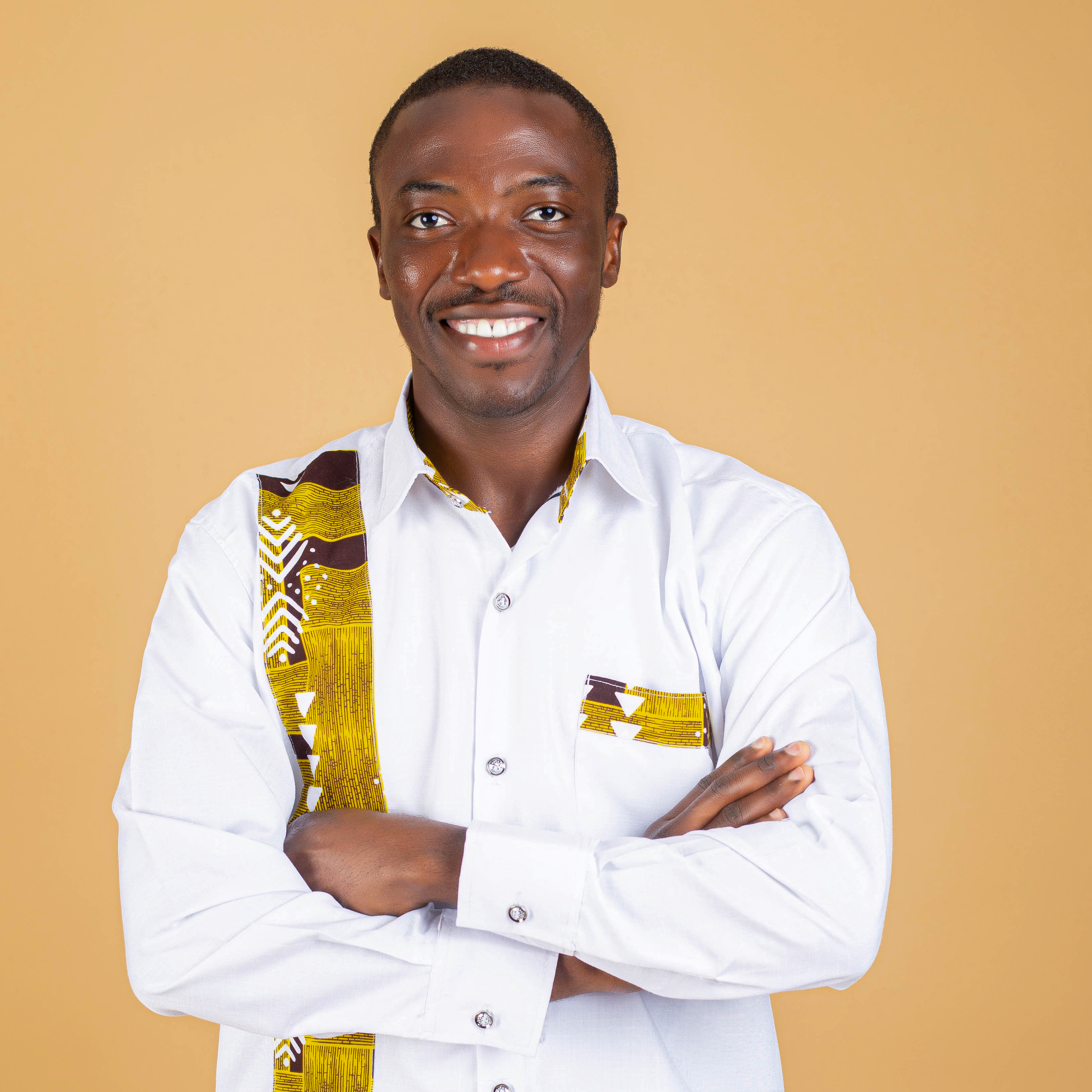
I develop machine learning methods for analysing satellite imagery, with applications in mobility analysis, human displacement, and public health. My recent work explores weakly supervised learning for parking lot occupancy estimation.
A weak supervision framework for estimating parking lot occupancy from 3 m satellite imagery using weekend-derived supervision.
Zero-shot recommendation using product reviews with large language models.
What else can we do with satelite imagery that we cannot do with images captured from traditional cameras?
Read blog →Doing a literature review can be quite painful, I think many students can relate. Over time, I have learned a few things that I would like to share here.
Read blog →How can we apply design thinking principles to improve our research processes and outcomes?
Read blog →Attendance of AI for Social Good and Crisis Computing workshop in Geneva.
Read blog →Most of the time, when we are training a neural network model, we expect that the test accuracy to follow up the after training accuracy after some few hundred steps. However, sometimes the model exhibits a phenomenon known as "grokking," where it suddenly improves its performance.
Read blog →I'm always interested in discussing research collaborations, remote sensing, and AI applications.
Email: taidoo[at]cs.uni-saarland.de